The Heaphy Track is one of New Zealand’s 8 “Great Walks” and it’s the closest one to Westport. So, after much negotiation and planning, my friend Steve and I set out last weekend to tackle the 80 KM track over four days. While the track is relatively flat, it is the longest of the Great Walks. Our plan was to head up to the closer end of the trail in Karamea and hire a helicopter (with pilot) to take us to the far end, then hike back. Unfortunately, we are in the midst of one of the worst weather summers in recent history–our helicopter couldn’t fly on our appointed day, so we camped at one end of the track and pushed our start out one day. The storm that delayed our start stirred up the Tasman Sea, creating huge foam banks that made for a fun diversion.


We camped out, slept through more rain and woke up ready to catch our early morning helicopter. All was going according to plan until Steve and I both left our tent to brush our teeth at the bathroom facility. When we got back, the bag with our map and, more importantly, our hut reservations, was gone from the tent and in its place was a giant poop courtesy of a local Weka (wild, bush chicken — one of NZ’s flightless birds). After a brief panic, we cleaned up the poop and found the map 30 yards from our tent.
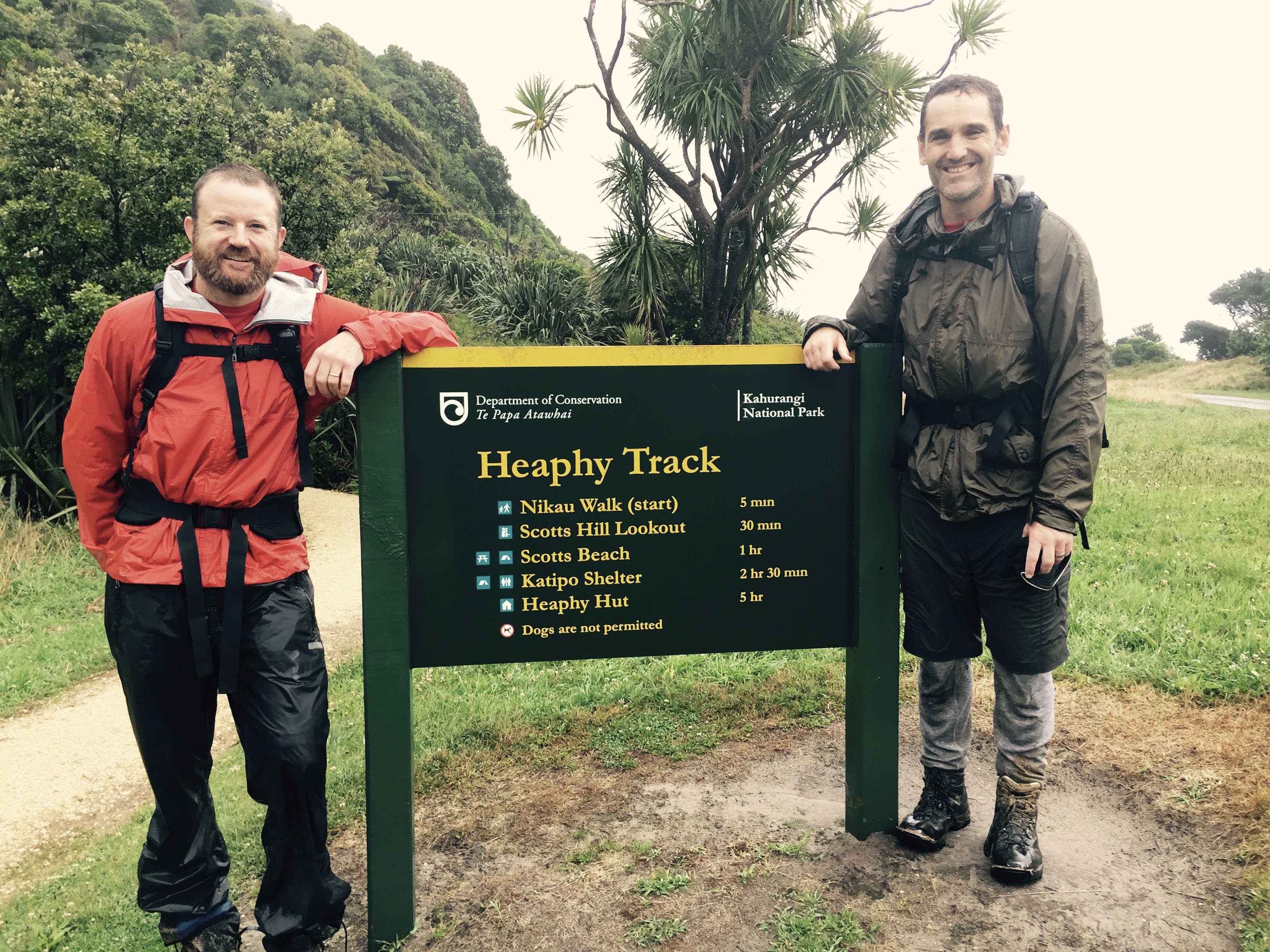
The helicopter arrived, picked us up and in 25 minutes flew us the 80KM that would take us days to travel on foot. We landed, grabbed our packs and, after a quick coffee at the trailhead hut, were off.

Since we had lost our first day, we set a goal of hiking two days in one–42 KM–the exact distance of a marathon. The first day of the Heaphy is the only real climb and folks complain about it, but it wasn’t really steep, but a bit of a steady uphill walk. Don’t get me wrong, it was enough to make my legs feel old. Despite the length of our trek, we managed to enjoy it especially since the sun was out and the landscape was varied and beautiful. It’s hard not to get desensitized to the beauty of the NZ bush. With so much rain, there are countless streams that come down the ridges through the rain forest making for beautiful, cascading mini-rivers.
Some of these streams were flowing enough to create pockets of foam which made for sweet facial hair enhancements. Or so we thought.
After we climbed up to the ridge, we eventually came to Gouland Downs, a rolling landscape of rolling hills, windswept shrubs and expansive views. We admired the sweeping scene at “Picnic Table Corner” before carrying on through the Downs.
We made it to the end of Gouland Downs around 5pm and stopped for a break at the Saxon hut, about 12 KM before our planned destination. Taking stock of our energy levels, our legs and our egos, we decided to push on the 3 extra hours to hit our goal of 42 KMs. The first 20 minutes of our last leg were great, but the last 1:40 or so were a bit of struggle. Eventually, we rolled into a very crowded hut where 20 or so hikers (aka “trampers”) were finishing up dinner and beginning to shut it down for the night.
The next morning we headed out for a normal day of hiking to the next hut. With a bit more time, we followed side tracks, climbed big trees and took frequent breaks. Along the track there were plenty of giant rata trees–sprawling trees that attach themselves and grow up other trees and ultimately outlast their host tree. One of these trees had a virtual ramp up and we climbed 40 feet high to get a view of the river valley and our hut from the night before. As we turned to climb down, we realized that a weka (these pesky birds) had followed us up the tree looking for handouts.
Tree selfie:

The rain beat us to the next hut and we slogged through an hour of downpours before reaching our destination. It was a welcome relief to get to our shelter and to have an afternoon of hanging out, sipping whiskey, and playing cards. The Heaphy Hut sits just up from where the Heaphy River empties into the Tasman Sea.


It was fascinating to sit and watch one set of gale force winds cruise west down the river valley, spraying waves and pushing rain sideways while the sea winds blew equally viciously from north to south. At one break in the weather, we took a quick walk down to the beach where we were pelted with wind-blown sand and, eventually, horizontal rain squalls. This is the famed “wild west coast weather.”
Our last day was a 16 KM hike along the beautiful, untamed Tasman coast. It is supposed to be the highlight–the crown jewel–of the track. But, it wasn’t supposed to rain torrentially all night, swelling the rivers. And it wasn’t supposed to continue to rain all day. Add to that an overactive sea that had been delivering waves up over the track in spots during high tide.

Despite the wet weather and the rambunctious sea, however, we had a great hike down the coast. Our quaint little brooks became torrents of muddy water which required rugged crossings that brought water up to our knees and, in spots, to our waists. In several spots the weather had created landslides that literally wiped out the trail and required a scramble across trees, mud and rocks.


Alas we made it to the end of the track with a welcome set of dry clothes in the car. All in all, a great adventure.
For more pics, check out the Flickr site here.
Bummer about the summer/weather but seems you are still making the most of it. Sounds like a very cool adventure.
Wow, pretty impressivr, jeremy!
wonderful description of your adventure, and great photos!
You are making the MOST of your NZ life!
See you soon!
XXXX
Jeremy,
Your adventure was a delight to read, especially while sipping tea inside with the sun warming me through the window. I hope this was the most difficult of the NZ walks but certainly the views were worth the toil and mishaps of weather and crazy birds make for lifetime memories.
Jeremy,
You are living “la vida loca”!! Awesome! Enjoy reading about all your adventures.
Dolly
Wow. Well done putting that together Jeremy. Thanks for an amazing adventure in our backyard.